Hiking in different places in Greenland
Jump to chapter
Published: 12/12/2023
Reading time: 4 minutes
Being guide and a local I did many hikes during the years and I would love to share with you all few of my favorite ones. So keep reading and lets go for a virtual hike in Greenland.
Greenland is 2.166.000 km² and we are only 56.000 inhabitants, so we do have a lot of space.
To go from town to another you need to take the coast ferry or a flight because there aren´t any roads connecting any towns or villages.
So much space and so just up the hill or a mountain, you get the feeling of being all alone in the world. This is an amazing feeling by the way 🙂
An amazing place for meditation!
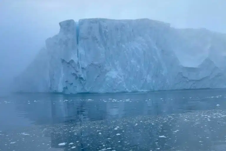
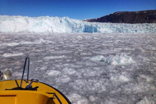
There are many different hikes all around Greenland. You can even hike to the ice cap, and I highly recommend if you do so that you go with a guide, because there are many melting potholes which you don´t want to slip into.

Amazing experience to be on top of the ice cap, and if you ever go remember to bring sunscreen, sunglasses and of cause camera 😉
Hiking to Kuannit on Disko island
Qeqertarsuaq has many hike possibilities, and one of them goes to this beautiful sight Kuannit. Just an hour away from the town is one of the most gorgeous places I have seen in Greenland! This time I saw it from the seaside on an afternoon boat tour with friends. So pure so beautiful!

Hiking tour from Qeqertarsuaq to Kuannit in Disko Bay
During summer is this place very green with bushes and many angelicas. So the name Kuannit is the Greenlandic word for the plant angelica.

This is a totally a unique sight comparing to the rest of Greenland and can be visited all year round but the yellow markings are only visible during summer.

Disko Island is vulcanic created and has therefore also created these beautifully shaped basalt mountains.
I have spent so many times here during summer, by myself and just enjoyed the calm beautiful surroundings. During winter is a bit harder to get there, it is possible, but it can be very slippery and from December can be very deep snow.

These basalt mountains are created 25-65 million years ago by volcanic activity.
If you are good hiker you can do a hike by yourslef but we always suggest book a tour with a local guide in that way you can learn so much more about the area but also about life in small island. If you not a fan of walking there is also possibility go to this area by boat (which will be my choice as well).

I also took a group of tourists on a nice hike to Kuannit where we also saw whales among the icebergs.
Find tours in Qeqertarsuaq, Disko island here
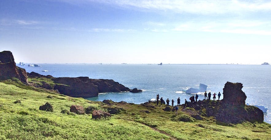
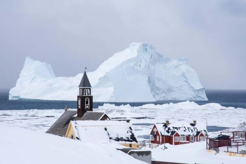
Hiking to Sermermiut Settlement in Ilulissat
Hiking to Sermermiut is possible anytime during the year but during winter you need more clothes and time. Be ready for that, take hat, gloves, and scarf be sure to dress in layers.
I took this picture the 1st of January in a minus 30 degrees Celsius (with the chill factor). But still an amazing hike to Sermermiut with the most amazing view of the icefjord.

This picture is taken the same place as the one above just during summer. This is at the old settlement Sermermiut in Ilulissat, which is on the UNESCO World Heritage list.

Find hiking tours in Ilulissat here
Hiking to Ukkusissat Mountain in Nuuk
Hike to the top of Nuuk, and get a great view! This hike is marked all the way to the top, which is 770 meters.
Depending on your speed and if its summer or winter, it can take 2-4 hours to reach the top.
Many families, even with dogs hike to this spot, but I would say you need to be good on your feet and be in good shape to do the hike because it’s very rocky and steep.

If you are not local I would advise having a guide with you as it is a bit more complicated and dangerous hike if you don’t know the route!
Find hiking tours in Nuuk here
Read more travel blogs from Laali Berthelsen
More travel blogs


Popular tours
-

Boat tour among icebergs | Tasiilaq | East Greenland
Tour startsTasiilaqDuration2 hours -

Snowshoe Hiking & Sauna experience | Ilulissat | Disko Bay
Tour startsIlulissatDuration4.5 hours -

Ice Fishing | Kangerlussuaq | West Greenland
Tour startsKangerlussuaqDuration3 hours -
Including flights!
New Years Eve adventure in Ilulissat | 6 Days
Tour startsIlulissatDuration6 days -
Few departure times!

Point 660 Greenland Ice sheet tour | Kangerlussuaq
Tour startsKangerlussuaqDuration5 hours -
Authentic experience!
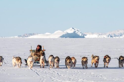
Expedition on Dogsled | 2 Days | Ilulissat
Tour startsIlulissatDuration2 days -
1 To 6 Passengers Included
The Calving Glacier Eqi | Private tour | Ilulissat | Disko Bay
Tour startsIlulissatDuration6 hours -

Explore the Cultural site of Qilakitsoq | Boat tour | Uummannaq | North Greenland
Tour startsUummannaqDuration3 hours -

Boat tour to Qarajaq Glacier | Uummannaq | North Greenland
Tour startsUummannaqDuration8 hours -

History walk | Qeqertarsuaq | Disko Bay
Tour startsQeqertarsuaqDuration2 hours -
1 TO 6 PASSENGERS INCLUDED

Northern Lights Private Boat Tour | Nuuk
Tour startsNuukDuration3 hours -
1 to 6 people included!

The Abandoned Settlement of Kangeq & The Island Of Hope | Nuuk
Tour startsNuukDuration3 hours

Other interesting travel blogs